Less Traveled Northwest
Day Hikes for the Adventurous

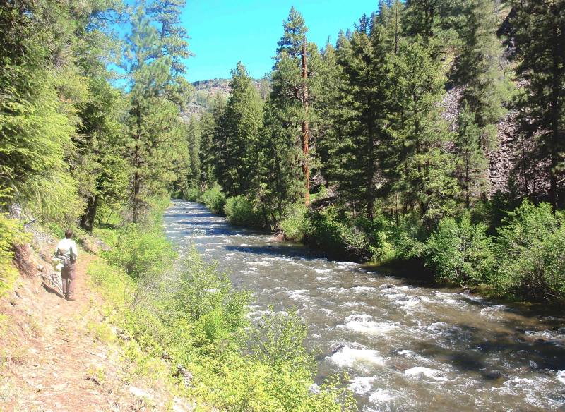
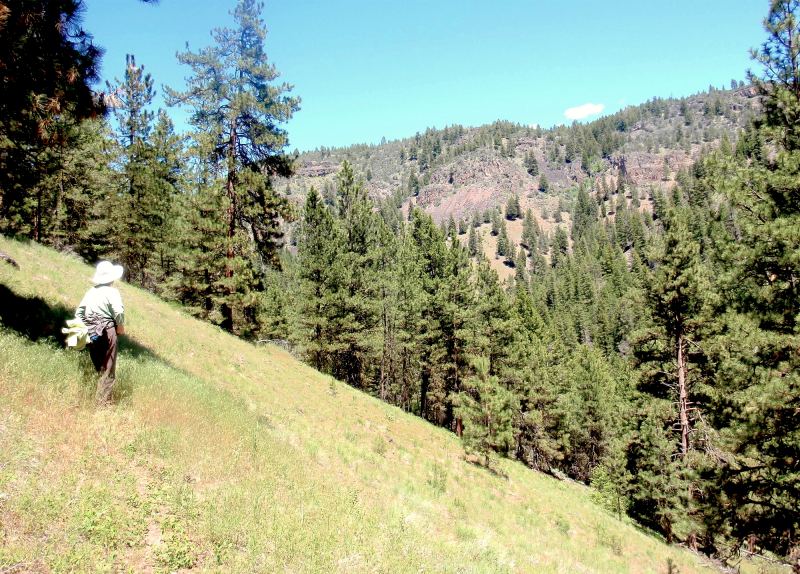
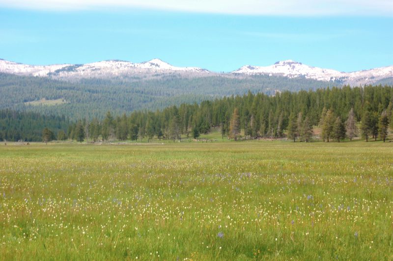
Malheur River Trail - South End
Hike Rating: Moderate
Hike Length: 7.2 miles roundtrip (variable)
Elevation Loss: 700’
Trailhead Elevation: 5,100’
Best Season: June through September
Driving Access: Any vehicle
Plus Points
• Very scenic trail, with vistas of canyon cliffs and rims
• Powerful river, with roar of rushing water throughout the canyon
• Stands of old growth ponderosa pine and douglas fir at riverside
• Abundant wildflowers in spring and songbirds throughout summer
• Osprey and bald eagles commonly seen overhead
• Lots of solitude here, as only 15-20 parties visit per year
Minus Points
• Trail has a 700’ descent down into and up out of the river canyon
• Trail does not get maintained every year, so expect downed trees
Download (PDF, 720 KB): Photos of Malheur River Trail - South
Download (PDF, 642 KB): Topo Map for Malheur River Trail - South
Download (PDF, 516 KB): Road Map for Malheur River Trail - South
Trail Notes

Once reaching the river, the trail winds upstream through mature stands of ponderosa pine and douglas fir. It closely follows the west bank of the river through broad flat terraces, which alternate in places with steep, rocky stream banks.
Road to Trailhead
The access road from Logan Valley is long (about 17 miles, or an hour’s drive), but it is graveled and in good condition. From paved Road 16 at Logan Valley, drive south on Road 1643 for about 15.5 miles to Hog Flat, a huge expanse of sagebrush, with a sign to the trailhead. Turn left here on Road 142 and drive 1.4 miles across the open sage flat to the parking area on a forested knoll. Look for pronghorn on the sagebrush flats.
Camping Options
The closest developed campsites are at Malheur Ford, about 6 miles back up Road 1643 at the Malheur River North trailhead. This is a nice streamside meadow with a small gravel parking lot, but only 2-3 campsites at most — which will work only for tents and very small camping trailers. It has a vault toilet, but no potable water supply.
Finally, if fully self-contained with your own sanitation and water supply, there are dispersed camping sites in the area, either right at the trailhead or in the trees off of Road 1643 around the edge of Hog Flat. This is the most primitive camping option, but can save lots of driving time to and from the more developed campgrounds.
Agency Contact: Malheur National Forest, Prairie City District, (541) 575-3000
DISCLAIMER: Every effort has been made to ensure the accuracy of this information, but the authors do not guarantee that it is either current or correct. The reader assumes full responsibility for any use of this information, and is encouraged to contact local federal land agencies to inquire about current conditions before traveling.
Page last updated: 12/20/11