Less Traveled Northwest
Day Hikes for the Adventurous

Central Oregon Hikes
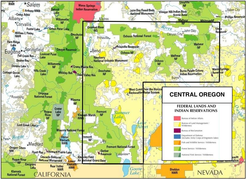
Download (PDF, 280 KB): Central Oregon Regional Map
These more remote lands in Central Oregon are divided into two distinct natural landscapes, each defined by elevation and the amount of rainfall it receives:
• Lower elevation lands (below 4,000’)
• 8-12 inches of rain per year
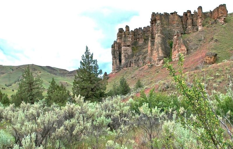
• Expanses of sagebrush with scattered juniper forests
• Mostly in the public domain and managed by the BLM
• Few paved roads, campgrounds or water sources
• Higher elevation lands (4,000’ to 8,000’)
• 20-30 inches of rain per year
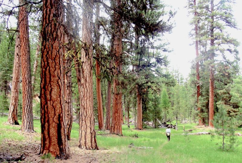
• Mountainous terrain with mixed pine, fir and larch forests
• Mostly publicly-owned and managed by the Forest Service
• Good road networks, campgrounds and water supplies
While the sagebrush country of Central Oregon offers many wonderful and remote day hikes, we feel the national forests here are the more appealing choice — especially during the hot summer hiking season of June through September. Thus, our Central Oregon hikes focus on these three, less-visited national forests:
> Hikes in Malheur National Forest
> Hikes in Fremont National Forest
> Hikes in Ochoco National Forest
NOTE: Deschutes National Forest is absent from this list, due to its proximity to Bend and the intense trail use it receives. However, if interested in less-traveled explorations within a day’s drive of Bend, see our sister website: Central Oregon Geographica
To locate hikes in Central Oregon, click on your area of interest:
Page last updated: 12/17/11