Less Traveled Northwest
Day Hikes for the Adventurous

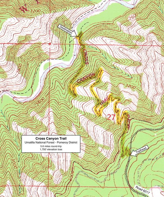
Cross Canyon Trail
NOTE: The Cross Canyon Trail burned in Grizzly Bear Complex Fire of September 2015. It may be a few years before this area recovers for recreational use.
Hike Rating: Moderate
Hike Length: 5.6 miles roundtrip
Elevation Loss: 1,750’
Trailhead Elevation: 4,100’
Best Season: June through September
Driving Access: Any vehicle
Plus Points
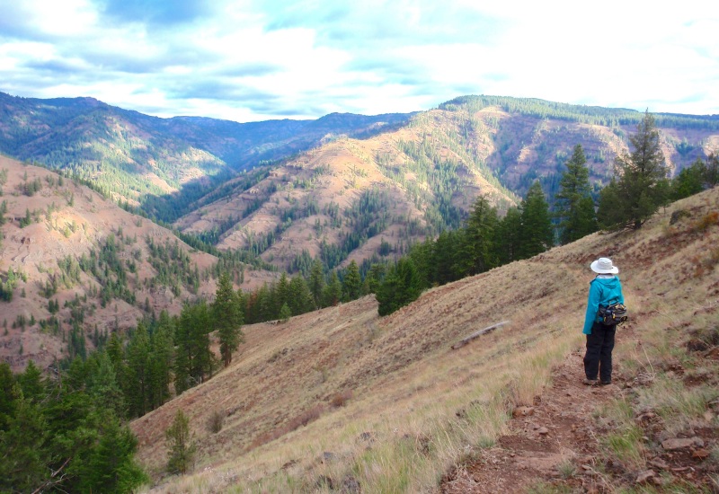
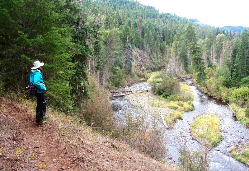
• A scenic hike that starts on the rim and ends on the shady banks of the Wenaha River
• The entire hike is within the Wenaha-Tucannon Wilderness Area
• Sweeping, panoramic vistas up and down the river canyon at every step
• Trail traverses both dry, south-facing slopes and forested, north-facing slopes
• Grouse (both roughed and blue) in the forests; bald eagles along the river
• Possible sightings of Shiras moose along the river floodplain
Minus Points
• Hike can be brutally hot in mid-summer, so plan to start in early AM on hot days
• Rattlesnakes are commonly encountered throughout the summer, so be aware
Download (PDF, 765 KB): Photos of Cross Canyon Trail
Download (PDF, 713 KB): Topo Map for Cross Canyon Trail
Download (PDF, 729 KB): Road Map for Cross Canyon Trail
Trail Notes
For the next 1.5 miles, the trail switchbacks back and forth down the hillside, traversing dry, open, south-facing slopes and moister, north-facing slopes with mixed stands of douglas fir and larch. In between, the forest transitions to scattered ponderosa pine and even juniper on the very driest rock ridges. Overall, the trail is well-built on a good grade, but has several stretches with loose rock underfoot, so take care in these sections. At 1.8 miles, the trail makes its last big switchback and begins a gradual, half-mile descent north into the river bottom.
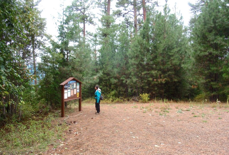
Road to Trailhead
Camping Options
There are no developed campgrounds within easy commuting distance of the trailhead, so dispersed camping with one's own water and sanitation is the best option.
For tent campers: There are 3-4 dispersed campsites on the 2.7-mile drive along Road 6217 to the trailhead. These are on spur roads leading off Road 6217 that have been closed, but still with enough room to set up camp and have privacy from the road. Water is available at a piped spring and trough about 30 yards downhill from the trailhead.

Finally, a third spot for dispersed camping is off Road 62, about 0.9 miles west of the Long Meadow Guard Station, and about 6 driving miles from the trailhead. On both sides of Road 62, there are short spur roads leading off to camping sites under large firs and ponderosas. The area is quite scenic, but there's not much privacy from the main road.
Agency Contact: Umatilla National Forest, Pomeroy District, (509) 843-1891
DISCLAIMER: Every effort has been made to ensure the accuracy of this information, but the authors do not guarantee that it is either current or correct. The reader assumes full responsibility for any use of this information, and is encouraged to contact local public land agencies to inquire about current conditions before traveling.
Page last updated: 11/23/13