Less Traveled Northwest
Day Hikes for the Adventurous

East Eagle Creek Trail
Hike Rating: Easy
Hike Length: 8.2 miles roundtrip
Elevation Gain: 750’
Trailhead Elevation: 4,630’
Best Season: June through September,
after Spring runoff has subsided
Driving Access: Any vehicle
Plus Points
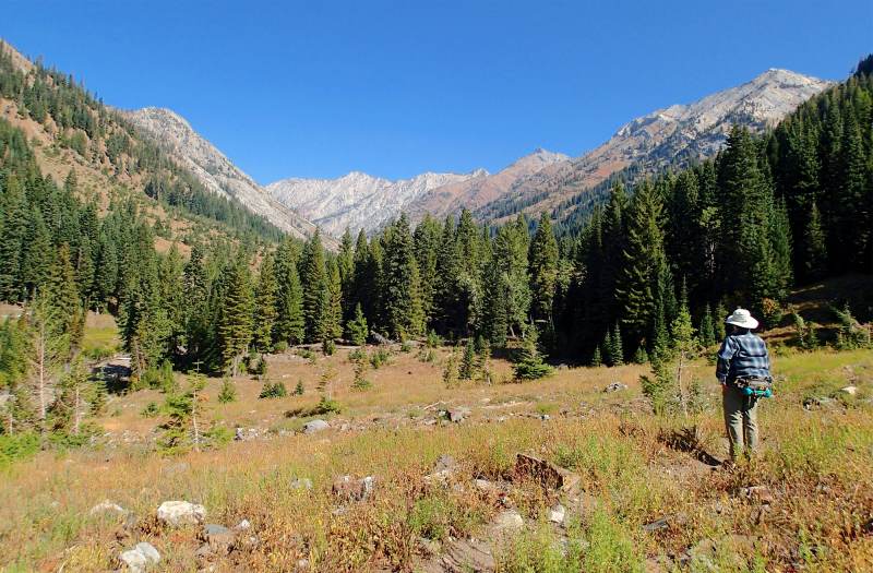
• A hike through a U-shaped glaciated valley into the heart of the Wallowa Mountains
• The trail is entirely within the Eagle Cap Wilderness Area and is cow-free
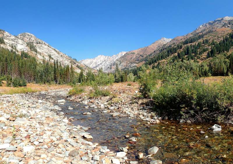
• Outstanding views of the dramatic, multi-colored rock cliffs rising 3,000' above trail
• Alternating fir forests and open grassy snow avalanche chutes along the route
• Spring wildflowers include coneflower, red paintbrush, blue mint and purple asters
• The well-built trail is within sight or sound of rushing East Eagle Creek throughout
Minus Points
• The trail is well-used, but solitude can be found at the destination meadows
• The trail fords a few tributary streams that can be hazardous during Spring runoff
Download (PDF, 656 KB): Photos of East Eagle Creek Trail
Download (PDF, 886 KB): Topo Map for East Eagle Creek Trail
Download (PDF, 820 KB): Road Map for East Eagle Creek Trail
Trail Notes
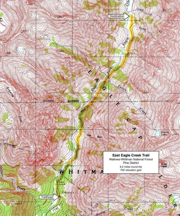
At 1.5 miles, the trail crosses "The Box," the first of many snow avalanche chutes, giving great views of the "two color" white limestone and red metamorphic ridges on the western skyline. Though completely dry by late Summer, the streams in these avalanche chutes can be tricky to ford during Spring snowmelt. The Curtis Creek ford at 2.8 miles is the largest stream crossing and one should be extra careful at this ford early in the season.
Just past Curtis Creek, the trail contours above Corkscrew Falls, where East Eagle Creek twists through a corkscrew slot in the bedrock, emerging sideways in a fantail of spray. From here, one also has the first views up canyon to Eagle Cap and Glacier Peaks in the north. Past Corkscrew Falls, the snow avalanche chutes become much more numerous and the trail is mostly over open outwash plains, through dry meadows with coneflower, paintbrush, aster and stunted aspen trees. By this point, the views of the high alpine ridges all around are almost continuous and definitely spectacular.
Road to Trailhead
On Forest Road 77, about 5.6 miles east of the Tamarack Campground, turn north on Road 7745 and drive 5.4 miles to the equestrian trailhead. Don't stop here, but drive 0.7 miles further to the hiking trailhead at the end of the road. Take care driving through the ford of Little Kettle Creek about 0.3 miles before the trailhead — the water can be high in early summer, but still passable by normal clearance vehicles. A self-issued Wilderness Permit is required at the trailhead.
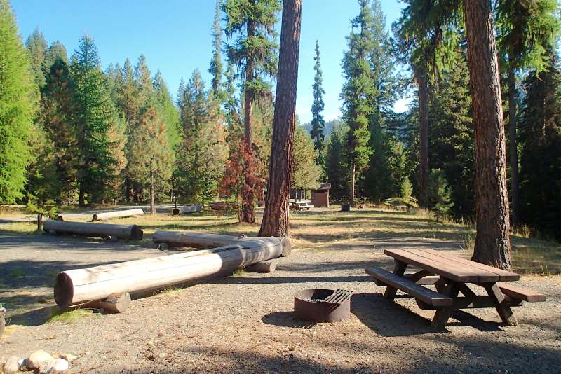
Camping Options
There are numerous dispersed camping sites along Road 7745, within the last two miles before the trailhead. These are mostly pull-off sites on both sides of the road, some into the forest and some along East Eagle Creek. These sites are suitable for tents or even large travel trailers, but campers must be self-contained with their own water and sanitation. Be aware that much of the land along the first 4 miles of Road 7745 is privately owned.
Agency Contact: Wallowa-Whitman Natl. Forest, Pine Ranger District, (541) 742-7511
DISCLAIMER: Every effort has been made to ensure the accuracy of this information, but the authors do not guarantee that it is either current or correct. The reader assumes full responsibility for any use of this information, and is encouraged to contact local public land agencies to inquire about current conditions before traveling.
Page last updated: 12/10/14