Less Traveled Northwest
Day Hikes for the Adventurous

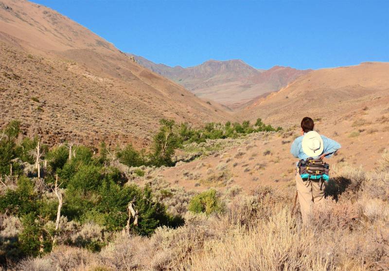
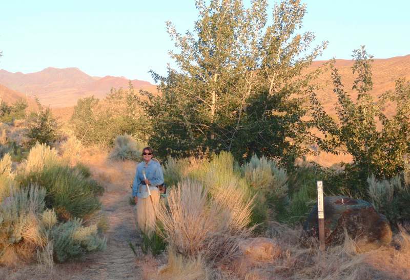
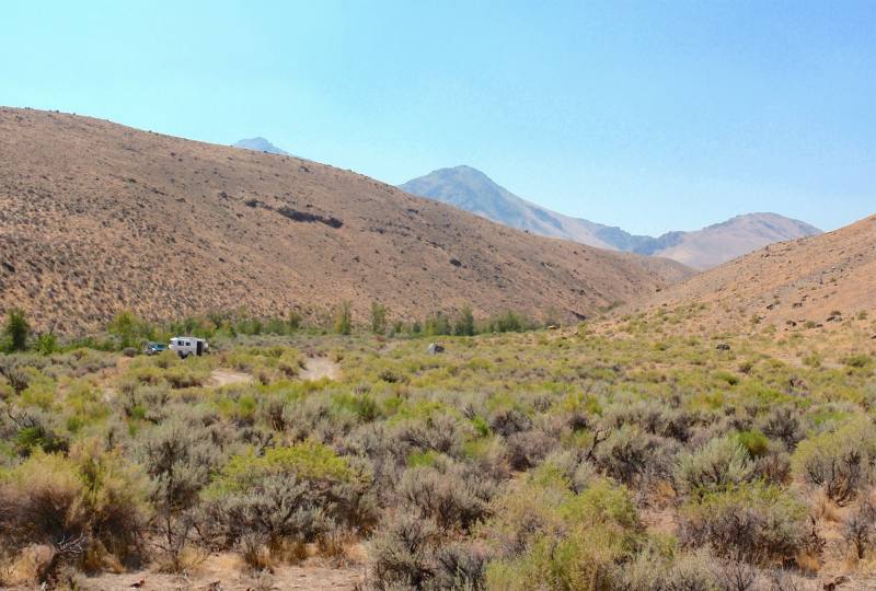
Little Cottonwood Creek Hike
Hike Rating: Moderate
Hike Length: 6.4 miles roundtrip (variable)
Elevation Gain: 760’
Trailhead Elevation: 4,340’
Best Season: June through September
Driving Access: Any vehicle, with care
Plus Points
• A scenic, low-elevation stream canyon in a dry landscape with colorful rock formations
• Little Cottonwood Creek is within a BLM Wilderness Study Area
• Perennial water in the canyon supports small cottonwood trees and abundant wildlife
• Look for short-eared owls and mule deer in the streamside cottonwood thickets
• Abundant songbirds, including chickadees, towhees, wrens, flycatchers and warblers
• No sign of cow activity in the canyon and solitude is almost assured here
Minus Points
• No established hiking trail, but walking is easy along numerous game trails
• Rattlesnakes are a possibility throughout the summer, so caution is advised
• Hike can be hot in midsummer, so plan to start in the early AM and return by noon
Download (PDF, 603 KB): Photos of Little Cottonwood Creek Hike
Download (PDF, 793 KB): Topo Map for Little Cottonwood Creek Hike
Download (PDF, 546 KB): Road Map for Little Cottonwood Creek Hike
Trail Notes
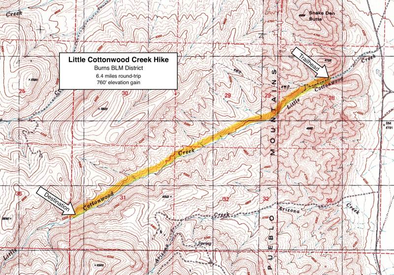

There is no set destination for this hike but, at about the 3.2 mile point, there's a tall, colorful "rooster comb" rock formation descending the hillside from the north, almost blocking the canyon. The shady thickets at streamside below these rocks can make a good lunch and hike turnaround spot.
Road to Trailhead
For the 0.6 miles up Little Cottonwood Creek to the trailhead, the road is in generally good shape, but there are a few ruts and exposed rocks to be aware of. Low-clearance passenger cars may choose to park at one of the many pullouts along the route and walk to the trailhead. High clearance vehicles should have no problems reaching the trailhead at road's end.
Camping Options
There are no developed campgrounds within 25 miles of the Pueblo Mountains. Both the Willow Creek Hot Springs Campground near the Trout Creek Mtns. and the Mann Lake Recreation Area east of Steens Mtn. are too distant to serve as a base for day hiking here.
Agency Contact: Burns BLM District, (541) 573-4411
DISCLAIMER: Every effort has been made to ensure the accuracy of this information, but the authors do not guarantee that it is either current or correct. The reader assumes full responsibility for any use of this information, and is encouraged to contact local federal land agencies to inquire about current conditions before traveling.
Page last updated: 1/17/13