Less Traveled Northwest
Day Hikes for the Adventurous

Mud Creek Trail
Hike Rating: Easy
Hike Length: 6.5 miles roundtrip
Elevation Gain: 620’
Trailhead Elevation: 5,280’
Best Season: June through September,
after spring runoff has subsided
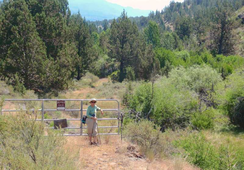
Driving Access: High-clearance vehicle
Plus Points
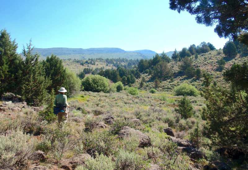
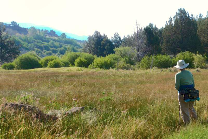
• Easy walking on an old jeep road through sage-juniper uplands to a green oasis
• Mud Creek is a Wild-and-Scenic stream within the Steens Mtn. Wilderness Area
• The stream is spring-fed, so it usually has some water late into the year
• Cows are excluded, so streamside meadows, willows and wildflowers are pristine
• Songbirds, mule deer and red-tailed hawks are common in the stream canyon
• Solitude is likely, as only 3-4 groups per month now use this trail in summer
Minus Points
• Requires a ford of Indian Creek, which is only safe after Spring runoff has subsided
• Rattlesnakes are a possibility throughout the summer, so caution is advised
• Hike can be hot in midsummer, so plan to start in early AM and return by noon
Download (PDF, 574 KB): Photos of Mud Creek Trail
Download (PDF, 551 KB): Topo Map for Mud Creek Trail
Download (PDF, 505 KB): Road Map for Mud Creek Trail
Trail Notes

At the 1.5 mile point, the road descends into a grassy swale and then climbs steadily for the next mile through open, nearly treeless grasslands, the result of a long-ago range fire in this area. At about 2.5 miles, the jeep road crests a ridge, bends sharply northeast, and then descends into the Mud Creek drainage.
Road to Trailhead
Camping Options
The only developed campground in the area is the South Steens Campground, managed by the BLM. It’s located 18 miles east of Hwy 205 on the Steens Mtn. Loop Road and is only a mile from the trailhead. This campground is split into two parts, with 21 standard sites for family campers and 15 sites for equestrians. The campsites are all dispersed through a juniper-covered grassland, some with shade and some more exposed. All have gravel parking pads, picnic tables and fire rings. Both campgrounds provide vault toilets, drinking water and trash cans. The fee was $6.00 per night in 2012.
Agency Contact: Burns BLM District, (541) 573-4411
DISCLAIMER: Every effort has been made to ensure the accuracy of this information, but the authors do not guarantee that it is either current or correct. The reader assumes full responsibility for any use of this information, and is encouraged to contact local federal land agencies to inquire about current conditions before traveling.
Page last updated: 1/16/13