Less Traveled Northwest
Day Hikes for the Adventurous

West Pueblo Ridge Hike
Hike Rating: Easy
Hike Length: 5.4 miles roundtrip (variable)
Elevation Gain: 720’
Trailhead Elevation: 6,320’
Best Season: June through September
Driving Access: Any vehicle, with care
Plus Points
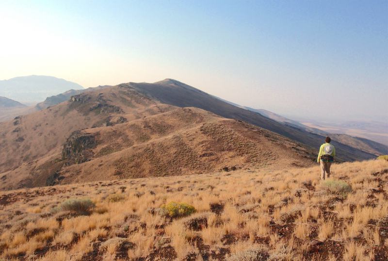
• A scenic and cow free cross-country hike along a 7,000’-high ridge in the West Pueblos
• The West Pueblo Ridge is within a BLM Wilderness Study Area
• Long views of Oregon End Valley to the west, plus the Trout Creek and Steens ranges
• Easy walking over bunchgrass, low sagebrush and open shale fields
• Colorful yellow-green and orange lichen on exposed basalt outcrops
• Bighorn sheep sightings are more likely the further one hikes along the ridge
Minus Points
• Afternoon thunderstorms can present a lightning hazard along the ridge
• Hike can be hot in midsummer, so plan to start in the early AM and return by noon
Download (PDF, 522 KB): Photos of West Pueblo Ridge Hike
Download (PDF, 815 KB): Topo Map for West Pueblo Ridge Hike
Download (PDF, 756 KB): Road Map for West Pueblo Ridge Hike
Trail Notes


From this point south, signs of bighorn sheep (hoof prints, scat and trails) are much more prevalent and it's worthwhile to scan the dark ridges and rims ahead with binoculars. One can hike as far south as one likes along the ridge, but Promontory 7042 at the 2.7 mile point, just north of Oleachea Pass, can make a good day hike destination.
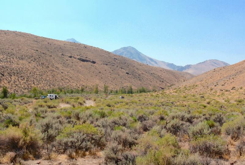
Road to Trailhead

When dry, the road to Domingo Pass can be traveled by any passenger car, as the roadbed is occasionally graded. Approaching the top of the pass, there are a few exposed rock ledges in the road to negotiate but, with care, one can drive over and around them.
Camping Options
There are no developed campgrounds within 25 miles of the Pueblo Mountains. Both the Willow Creek Hot Springs Campground near the Trout Creek Mtns. and the Mann Lake Recreation Area east of Steens Mtn. are too distant to serve as a base for day hiking here.
Agency Contact: Burns BLM District, (541) 573-4411
DISCLAIMER: Every effort has been made to ensure the accuracy of this information, but the authors do not guarantee that it is either current or correct. The reader assumes full responsibility for any use of this information, and is encouraged to contact local federal land agencies to inquire about current conditions before traveling.
Page last updated: 1/17/13