Less Traveled Northwest
Day Hikes for the Adventurous

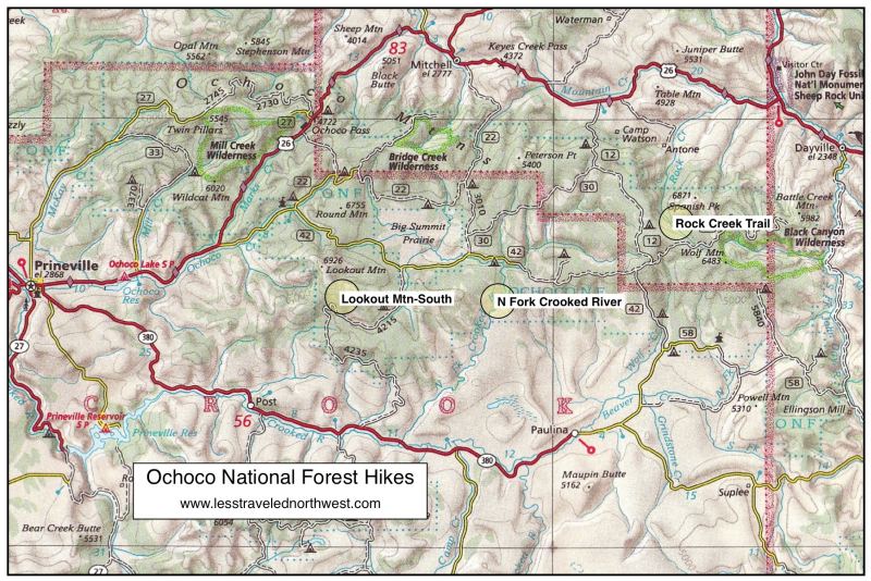
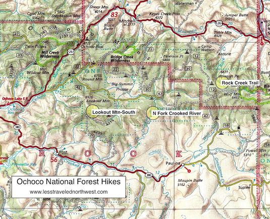
Ochoco National Forest Hikes
Download (PDF, 734 KB): Location Map of Ochoco NF Hikes
Download (PDF, 700 KB): Photos of Ochoco National Forest
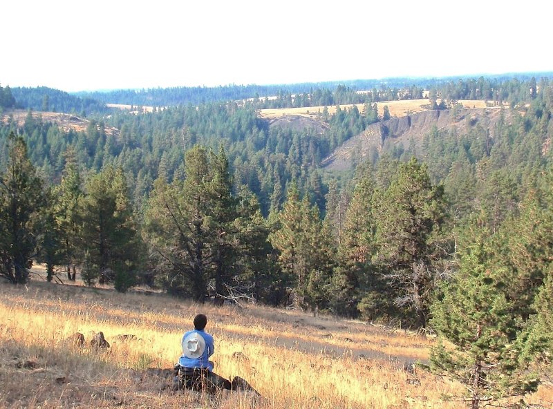
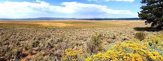
The eastern half of the Ochoco Forest, where our three day hikes are located, receives less rain and the fewest visitors. It is a diverse landscape, with thick stands of fir and larch on the north-facing slopes, pine forests on the south slopes, and sagebrush flats on the driest uplands. Recreational use in this section is mostly by a few hikers and horseback riders in summer and numerous deer hunters in late fall.

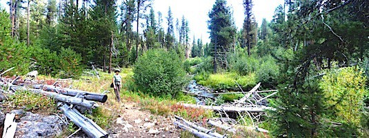
North Fork Crooked River, which drains south out of Big Summit Prairie, is the one Wild and Scenic river in the Ochoco Mountains. Though its inner canyon has spectacular scenery, with colorful rock cliffs and mature “yellow-belly” ponderosas, it is difficult to access, so is rarely visited. We feature here a cross-country hike down into this magical gorge, along with two other interesting rambles.
> Rock Creek Trail
> North Fork Crooked River Hike
> Lookout Mountain Trail - South End
Clickable map of Ochoco National Forest hikes:
Page last updated: 12/18/11