Less Traveled Northwest
Day Hikes for the Adventurous
Malheur National Forest Hikes
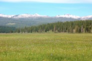
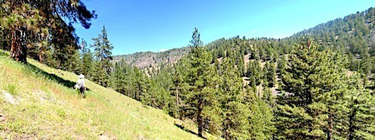
For the recreational hiker, the Malheur National Forest is about as good as it gets: snow-capped mountains, old growth ponderosa forests, wildflower meadows and deep river canyons. It is located far from major population centers, so it gets fewer visitors than the more accessible national forests. It also has good access roads and campgrounds, making it an ideal summer recreation destination.
The landscape of the Malheur Forest is mainly ponderosa pine, with wet meadows and dry sagebrush flats. The forests appear well-managed with selective logging and light grazing. The campgrounds and trails are in good shape, and the road network seems to reach every corner of the forest — a legacy from its heavier logging days. Supplies (gas, propane, groceries) are available in the town of Seneca.
Download (PDF, 535 KB): Location Map of Malheur NF Hikes
Download (PDF, 682 KB): Photos of Malheur National Forest
The snow-capped Strawberry Mountains, rising to over 9,000’, dominate the skyline in the Malheur Forest. This compact mountain range, with its rugged alpine scenery and extensive trail system, attracts the majority of recreational visitors — and is definitely worth an extended look. But our hikes focus on the less-visited corners of the Malheur Forest that we feel deserve just as much attention.
Eastern Section Hikes
In the eastern forest, the rivers and streams flowing southeast from the Strawberry Mountains are a primary attraction. These canyons are not only scenic, with rushing water, rock cliffs and mature forests untouched by logging, but they have well-developed trails that receive only occasional use. Another overlooked attraction here is the Monument Rock Wilderness, a once-glaciated 7,500’ ridge, featuring hikes and sweeping views accessed from a driving road to the summit.
> Monument Rock Wilderness Hike
> North Fork Malheur River Trail
> Crane Creek Trail
> Malheur River Trail - North End
> Malheur River Trail - South End
> Craft Cabin Trail
Western Section Hikes
The western half of the Malheur Forest doesn’t catch as much precipitation from passing storms and the landscape is somewhat drier, but it has a few beautiful, remote stream canyons and scenic, elevated benches that are definitely worth visiting and hiking.
> Riley Creek / McClellan Mtn Trail
> Shake Table Hike
> Myrtle Creek Trail
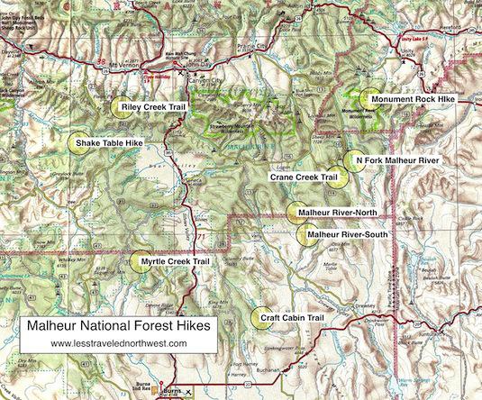
Clickable map of Malheur National Forest hikes:

Page last updated: 12/18/11


