Less Traveled Northwest
Day Hikes for the Adventurous

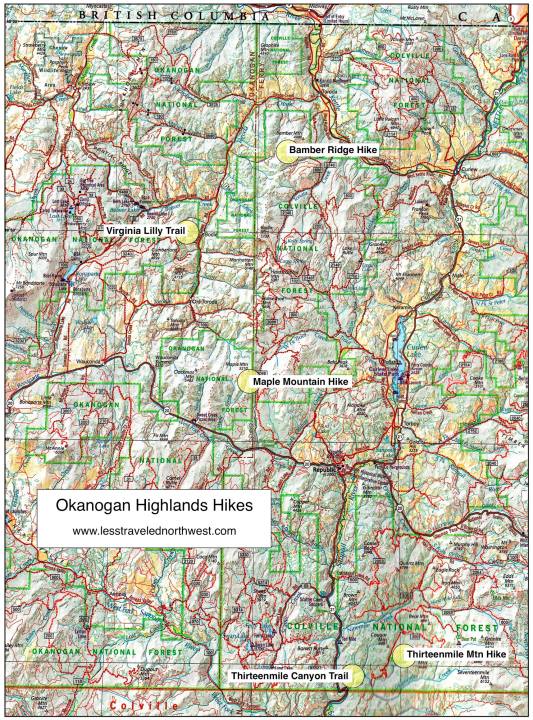
Okanogan Highlands Hikes

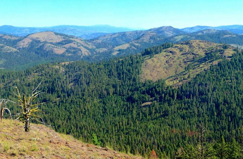
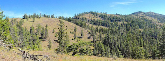
The most striking feature of this landscape is the rounded, rocky ridges and summits ground down by the continental ice sheet during the last Ice Age. With few elevations over 6,000', the smooth contours of the
Download (PDF, 861 KB): Location Map of Okanogan Highlands Hikes
Download (PDF, 888 KB): Photos of the Okanogan Highlands
Since the Okanogan Highlands are several hours drive from Spokane, the only major population center in Northeast Washington, expect to find plenty of solitude here. One can spend an entire week hiking in the area and not see another soul on the trails and back roads. For such a lightly-traveled region, however, the Forest Service trails, roads and campgrounds are surprisingly well-maintained and make visitors feel welcome.

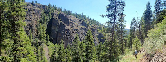
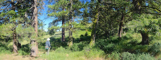
The five day hikes we've chosen offer a good sampling of diverse habitats in the Okanogan Highlands. The 4-mile (one-way) Bamber Ridge hike climbs old logging roads to the ridge crest, then treks cross-county along the crest with panoramic vistas. The Virginia Lilly Loop Trail is a little-visited gem, winding 4 miles through stands of old-growth larch and ponderosa, with interspersed ridge-top views. The Maple Mountain Trail provides backdoor access to the Clackamas Mountain Roadless Area, through uncut larch and fir to summit vistas. Two of our hikes explore the Thirteenmile Roadless Area — one a 3.4-mile hike (one-way) through the granite cliffs of Thirteenmile Canyon and the other a 3.1-mile ramble on a ridge trail to the scenic summit of Thirteenmile Mountain.
> Bamber Ridge Hike
> Virginia Lilly Loop Trail
> Maple Mountain Hike
> Thirteenmile Mountain Hike
> Thirteenmile Canyon Trail
Page last updated: 10/30/15