Less Traveled Northwest
Day Hikes for the Adventurous

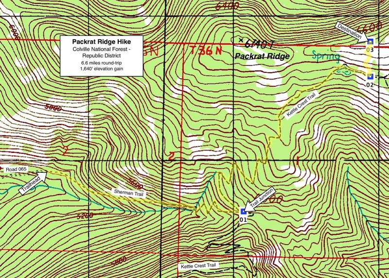
Packrat Ridge Hike

Hike Rating: Moderate
Hike Length: 6.6 miles roundtrip
Elevation Gain: 1,640’
Trailhead Elevation: 5,135’
Best Season: May to September
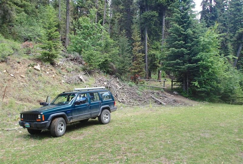
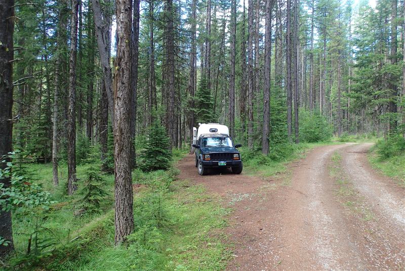
Driving Access: High-clearance vehicle
Plus Points
• A shady forest hike first, then a short cross-county climb to big views of the Kettle Crest
• Extensive stands of douglas fir and true fir along the lower trail, never logged
• Alpine meadows on the high ridge, with carpets of blue lupine and larkspur in summer
• Entire sweep of the Kettle Range is seen from Packrat Ridge viewpoint, north to south
• Very well-built trails on a consistent grade, though Sherman Trail part is seldom-used
• Solitude is nearly guaranteed in the high alpine meadows and along the ridge top
Minus Points
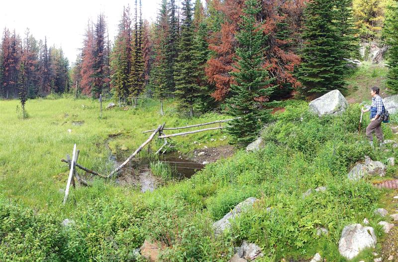
• Heavy cow activity on the lower Sherman Trail; little sign of cows on the high ridge
• Afternoon thunderstorms can present a lightning hazard on the exposed slopes
• A few mountain bikers and equestrians may be encountered on the Kettle Crest Trail
Download (PDF, 855 KB): Photos of Packrat Ridge Hike
Download (PDF, 705 KB): Topo Map for Packrat Ridge Hike
Download (GPX, 2 KB): GPS Points for Packrat Ridge Hike
Download (PDF, 695 KB): Road Map for Packrat Ridge Hike
Trail Notes
At 1 mile, the trail crosses over the creek on a stone culvert, then ascends a series of switchbacks on a good grade through nearly pure stands of lodgepole pine (with quite a few beetle-killed trees). At 1.5 miles, the Sherman Trail intersects the Kettle Crest Trail (GPS Point 1), where one turns left (north) on this more traveled track. Be alert for random mountain bikers zooming along this trail. Past the trail junction, the route climbs gradually north up a series of long switchbacks, through a predominately fir forest mixed with larch, lodgepole and an occasional aspen grove. The first long views are south to Jungle Hill, Columbia Mtn. and Sherman Peak.
Road to Trailhead
Camping Options
The nearest developed camping area is the USFS Sherman Overlook Campground, located 1 miles east of Sherman Pass on Hwy 20. However, due to hazard trees, this facility has been closed in the 2013-16 seasons. The best alternative campsites are found nearby at the Jungle Hill Trailhead, 0.6 miles north
On the west side of the Kettle Range, the nearest public camping is at the Ferry County Fairgrounds, just south of Republic, WA on Hwy 20. The fairgrounds are about 2.3 miles east of the Hwy 20/Hwy 21 junction and about 18 driving miles from the trailhead. On a large expanse of lawn with just a few shade trees are 102 RV sites with power and water hookups, plus additional tent-only spaces. The campground also offers restrooms and coin-operated showers. Fees in 2015 were $5.00 per night for tent campers and $15.00 per night for utility hookups.
Finally, for campers entirely self-contained with their own water and sanitation, there's a few dispersed campsites right on the way to the trailhead, on USFS land about 2.5 miles north along Road 2040 from Hwy 20. These are small pull-offs next to road, some with better privacy than others.
Agency Contact: Colville National Forest, Republic District, (509) 775-7400
DISCLAIMER: Every effort has been made to ensure the accuracy of this information, but the authors do not guarantee that it is either current or correct. The reader assumes full responsibility for any use of this information, and is encouraged to contact local public land agencies to inquire about current conditions before traveling.
Page last updated: 2/1/17