Less Traveled Northwest
Day Hikes for the Adventurous

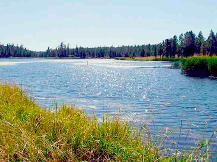
Myrtle Creek Trail

Hike Rating: Easy
Hike Length: 5.2 miles roundtrip (variable)
Elevation Loss: 480’
Trailhead Elevation: 5,380’
Best Season: June through September;
after spring runoff has subsided
Driving Access: Any vehicle
Plus Points
• A nice walk along a forested stream canyon
• Old growth ponderosa pine groves that have never been logged
• Many streamside wet meadows, with spring wildflowers
• Well-constructed trail with good maintenance
• Log footbridges at the stream crossings (no wading required)
• Potential bald eagles and osprey sightings overhead
• Excellent driving access to trailhead, off paved Road 31 (details below)
Minus Points
• A few sections of trail are steep (though trail along creek is mostly flat)
Download (PDF, 716 KB): Photos of Myrtle Creek Trail
Download (PDF, 456 KB): Topo Map for Myrtle Creek Trail
Download (PDF, 672 KB): Road Map for Myrtle Creek Trail
Trail Notes

At two miles, the trail meets West Fork Myrtle Creek and its side trail coming in from the northwest. Though there is no footbridge over this side creek, it’s fairly easy to cross by stepping on rocks — but only after the high water has subsided in spring.

Road to Trailhead
The trailhead is just west off paved Road 31, where this road crosses Myrtle Creek, about two miles downstream from Myrtle Park Meadows. There is a paved parking lot here and a small picnic area enclosed by a rail fence. A Northwest Forest Pass is required to use this day use area, so be sure it's on your dashboard while hiking!
Camping Options
The closest developed campground is the Idlewild Campground on Highway 395 about 14 driving miles south of the trailhead via paved Road 31. This is a large camping complex, with 25 sites that are just a few hundred yards from the highway. It features paved parking aprons, vault toilets and a potable water supply. It can accommodate any size camping rig and the fee here is $10.00 per night in 2011.
Finally, a more secluded option is the Rock Springs Campground, located four miles east of Highway 395 off paved Road 17, about 28 driving miles northeast of the trailhead over gravel Road 37. This is a small, pleasant forest camp next to a wet meadow. It's been recently refurbished with a new vault toilet, new tables and fire rings, but no drinking water. It has 14 camping sites that can accommodate anything from tents to large travel trailers. The fee is $6.00 per night in 2011.
Agency Contact: Malheur National Forest, Emigrant Creek District, (541) 573-4300
DISCLAIMER: Every effort has been made to ensure the accuracy of this information, but the authors do not guarantee that it is either current or correct. The reader assumes full responsibility for any use of this information, and is encouraged to contact local federal land agencies to inquire about current conditions before traveling.
Page last updated: 12/21/11